Evidence #184 | April 19, 2021
Book of Mormon Evidence: Eastward Turn
Post contributed by
Scripture Central
Abstract
The turn “nearly eastward” at Nahom recorded by Nephi is consistent with the real-world geography of South Arabia and the directional shift of the major trade routes known in antiquity.After burying Ishmael at Nahom (1 Nephi 16:34), Lehi’s family turned from the generally south-southeast direction they had followed up until that point (1 Nephi 16:13–14, 33) and “travel[ed] nearly eastward from that time forth,” until they arrived at a coastal location they called Bountiful (1 Nephi 17:1). Several lines of evidence establish the historical realism and geographical accuracy of this eastward turn.
The Incense Trail
Nephi’s travel directions are generally consistent with the main trade routes in Arabia known in antiquity. These generally ran north-south (or northwest-southeast) parallel to the Red Sea, which makes up Arabia’s western coastline.1 Due to the inhospitable desert known as the Empty Quarter, it was impossible to travel east-west across most of Arabia in antiquity. Not until travelers were south of Najran was east-west travel possible.2
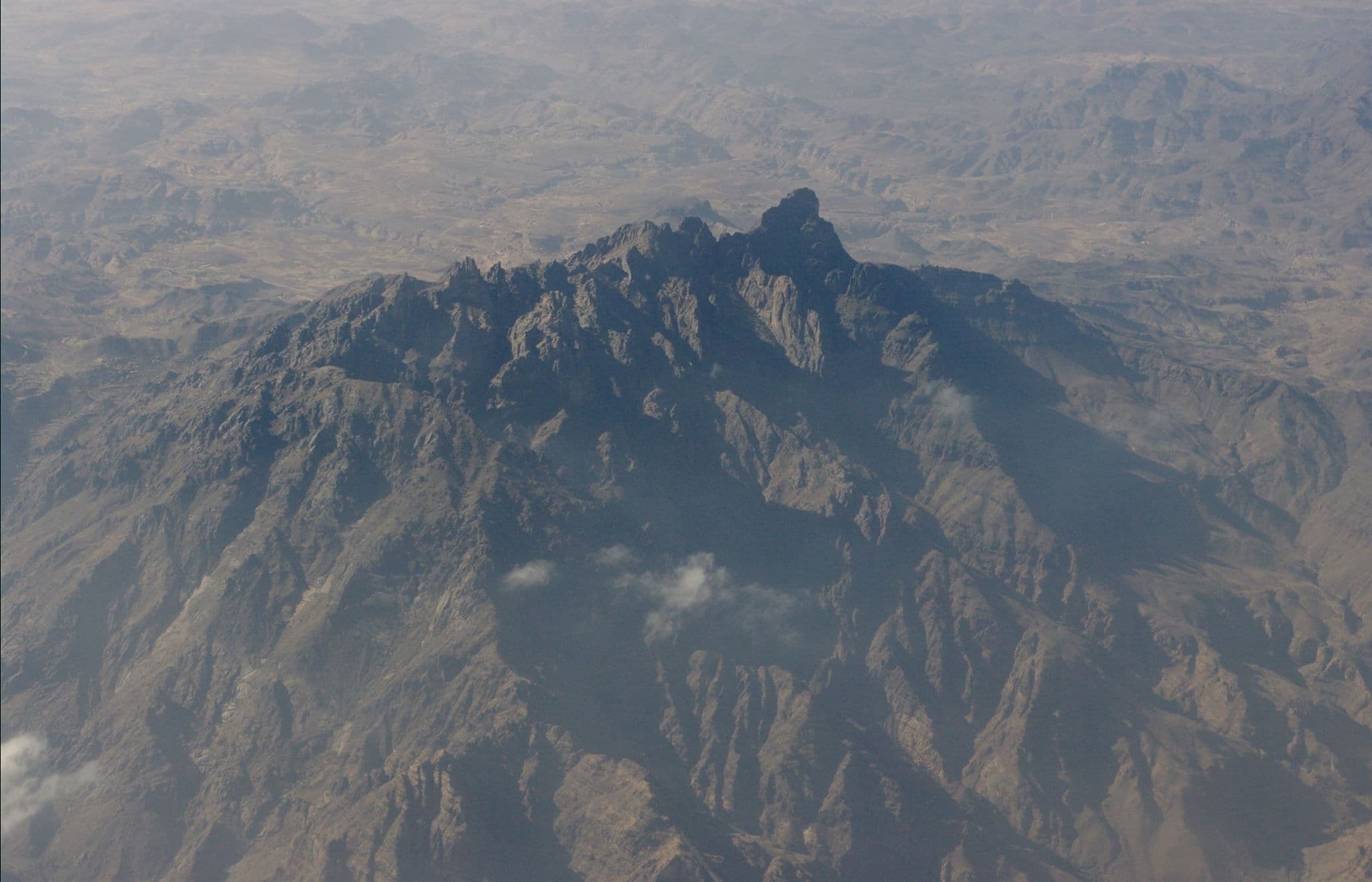
The main road begins to branch out eastward at the Wadi Jawf, near the Nihm region,3 which has been strongly identified as the place which was called Nahom in Nephi’s account.4 Although this trail does not go directly eastward at this point, it starts to veer in that direction, shifting from a southward direction toward the southeast. It shortly levels out to a more directly eastward path and then turns into a northeastward direction until reaching Shabwah, which is generally eastward from the Wadi Jawf. Thus, S. Kent Brown referred to this portion of the incense trail as “an eastward arc,”5 ending at a location “nearly eastward” from the Nihm region.


A More Directly Eastward Route
In addition to the main route, there were also shortcuts that provided a more direct eastward path from the Wadi Jawf to Shabwah.6 Such travel is made possible by “a narrow band of flat plateaus” that bisect two desert regions, with the Empty Quarter on the north and the Ramlat Saba’tayn desert on the south.7 Although these shortcuts did not come into regular use until the latter part of the first millennium BC,8 the geographic conditions which made them traversable certainly existed in Lehi’s day.

This region was largely barren and unpopulated, however, which meant longer stretches without access to food and water.9 For this reason, this route was most suitable to smaller, lightly loaded caravans,10 such as Lehi’s family would have been. The limited food and water during this phase of the journey could be what Nephi referenced when stating that they “wade[d] through much affliction.” It also may explain why they “were exceedingly rejoiced” when they arrived at a verdant location on the seashore (1 Nephi 17:1, 6).
Bountiful “Nearly Eastward” from Nahom
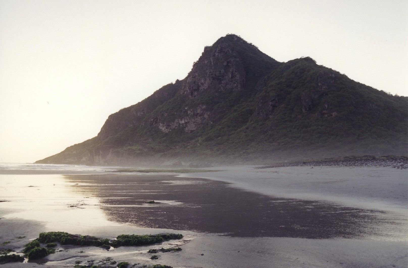
The “nearly eastward” travel from Nahom concluded with the arrival of Lehi’s family in a place they called Bountiful, due to its rich abundance in natural resources (1 Nephi 17:5). Multiple lines of evidence connect Bountiful with the Dhofar region of Oman, where two inlets provide plausible campsites where Nephi’s family could have built their ship.11 Both of these inlets are about 600 miles nearly due east of Nihm, being within one-degree north latitude of the Wadi Jawf.12 Thus, even though some parts of the journey from Nahom to Bountiful may have deviated from a directly eastward course, their final destination at Bountiful was quite literally “nearly eastward” from their starting point in the Nihm tribal territory.
Maps from Joseph Smith’s Day
Modern scholarship has only recently made knowledge of the Frankincense Trail available to the English-speaking world. Researchers have surveyed numerous maps of Arabia from the 18th–19th century, and none provide information about the trade routes in southern Arabia or indicate that eastward travel was possible or typical near the Nihm (also spelled Nehem or Nehhm) tribal region.13 Based on current evidence, S. Kent Brown concluded that until very recently, “Only a person who had traveled either near or along the trail would know that it turned eastward in this area.”14
Conclusion
The mere existence in Nephi’s account of a directional shift from a predominantly north-south orientation along Arabia’s west coast to an east-west orientation is noteworthy. It subtly betrays a knowledge of ancient travel in Arabia that, as documented thus far, was completely unknown in Joseph Smith’s world. In fact, Joseph Smith himself evidently missed this subtle detail. When summarizing Lehi’s journey, he simply wrote, “Lehi went down by the Red Sea to the great Southern Ocean.”15
Taken literally, Joseph’s summary of Lehi’s journey would lead from the northern end of the Red Sea to the very southwestern corner of Arabia, where the Red Sea meets the Gulf of Aden (an extension of “the great Southern Ocean”) without ever turning east. It thus appears that like the scholars of Arabia in his time, Joseph was not familiar with this major directional shift in the ancient trade routes.
Strengthening the correlation further is the fact that the Book of Mormon places this change of direction at a place called “Nahom” (spelled NHM in Hebrew). The directional shift in both the main road and potential shortcuts of the ancient trade routes occurs around the Wadi Jawf, in close proximity to an NHM toponym (the Nihm tribal region). Furthermore, traveling nearly due east from Nihm then leads to the Dhofar region, the only known location along Arabia’s southern coast that fits the Book of Mormon’s description of Bountiful.
If the eastward turn had been much earlier in Lehi’s journey (meaning significantly north of the Nihm tribal region), they would have met an impassable desert. And if it had been much further south of the Nihm region, a nearly eastward trek would have landed them quite a ways south and west of the Dhofar region. Thus, not only does the Book of Mormon include the eastward turn, but it provides beginning and ending points for the east-west leg of the journey that correlate remarkably well with locations in a tight east-west relationship in the real world.
After reviewing all the evidence carefully, S. Kent Brown concluded: “This kind of detail in the Book of Mormon narrative, combined with the reference to Nahom, is information that was unavailable in Joseph Smith’s day and thus stands as compelling evidence of the antiquity of the text.”16
Neal Rappleye, “The Nahom Convergence Reexamined: The Eastward Trail, Burial of the Dead, and the Ancient Borders of Nihm,” Interpreter: A Journal of Latter-Day Saint Faith and Scholarship 60 (2024): 1–86.
Neal Rappleye, “The Place—or the Tribe—Called Nahom? NHM as Both a Tribal and Geographic Name in Modern and Ancient Yemen,” BYU Studies Quarterly 62, no. 2 (2023): 49–72.
Neal Rappleye, “An Ishmael Buried Near Nahom,” Interpreter: A Journal of Latter-Day Saint Faith and Scholarship 48 (2021): 33–48.
Warren P. Aston, Lehi and Sariah in Arabia: The Old World Setting of the Book of Mormon (Bloomington, IN: Xlibris, 2015), 95–100.
S. Kent Brown, “New Light—Nahom and the ‘Eastward’ Turn,” Journal of Book of Mormon Studies 12/1 (2003): 111–112.
George Potter and Richard Wellington, Lehi in the Wilderness: 81 New, Documented Evidences that the Book of Mormon is a True History (Springville, UT: Cedar Fort, 2003), 107–120.
- 1 For maps of the ancient trade routes, see Nigel Groom, “Trade, Incense and Perfume,” in Queen of Sheba: Treasures from Ancient Yemen, ed. St. John Simpson (London: British Museum Press, 2002), 89; Michael Jenner, Yemen Rediscovered (New York, NY: Longman, 1983), 16; Adrian Curtis, Oxford Bible Atlas, 4th ed. (New York, NY: Oxford University Press, 2007), 100; Gus W. Van Beek, “The Rise and Fall of Arabia Felix,” Scientific American 221, no. 6 (1969): 41. See also Warren Aston and Michaela Knoth Aston, In the Footsteps of Lehi: New Evidence for Lehi’s Journey Across Arabia to Bountiful (Salt Lake City, UT: Deseret Book, 1994), 6; Warren P. Aston, Lehi and Sariah in Arabia: The Old World Setting of the Book of Mormon (Bloomington, IN: Xlibris, 2015), 51.
- 2 See the maps cited above (n.1). Some maps do show a single route branching out northeast from either Najran or Yathrib or somewhere in between. See Groom, “Trade, Incense and Perfume,” 89; Curtis, Oxford Bible Atlas, 100; Van Beek, “Rise and Fall,” 41; A. F. L. Beeston, “The Arabian Aromatics Trade in Antiquity,” Proceedings of the Seminar for Arabian Studies, A. F. L. Beeston volume (2005): 54, fig. 2. Truly eastward travel (as opposed to northeastward) however, is only shown on these maps south of Najran.
- 3 See Aston and Aston, In the Footsteps of Lehi, 22–23; S. Kent Brown, “New Light from Arabia on Lehi’s Trail,” in Echoes and Evidences of the Book of Mormon, ed. Donald W. Parry, Daniel C. Peterson, and John W. Welch (Provo, UT: FARMS, 2002), 89.
- 4 See Evidence Central, “Book of Mormon Evidence: Nahom,” March 9, 2021, online at evidencecentral.org.
- 5 S. Kent Brown, “Refining the Spotlight on Lehi and Sariah,” Journal of Book of Mormon Studies 15, no. 2 (2006): 55.
- 6 See Groom, “Trade, Incense and Perfume,” 89; Jenner, Yemen Rediscovered, 16. See also George Potter and Richard Wellington, Lehi in the Wilderness: 81 New, Documented Evidences that the Book of Mormon is a True History (Springville, UT: Cedar Fort, 2003), 117. Beeston, “Arabian Aromatics Trade,” 56, argues that this route was actually “a more likely route for incense caravans” than the more southward running route.
- 7 Warren P. Aston, “A History of NaHoM,” BYU Studies Quarterly 51, no. 2 (2012): 84–85.
- 8 See Andrey Korotayev, Ancient Yemen: Some General Trends of Evolution of the Sabaic Language and Sabaean Culture (New York, NY: Oxford University Press, 1995), 80–81 n.6.
- 9 See Aston, Lehi and Sariah in Arabia, 98–99. The plateau did receive higher than average rainfall when compared with the surrounding region, and pools of rainwater would remain for several weeks, which travelers could take advantage of. See Jeff Lindsay, “Joseph and the Amazing Technicolor Dream Map: Part 1 of 2,” Interpreter: A Journal of Latter-day Saint Faith and Scholarship 19 (2016): 206–207.
- 10 Korotayev, Ancient Yemen 80 n.6.
- 11 See Evidence, “Book of Mormon Evidence: Bountiful,” March 9, 2021, online at evidencecentral.org.
- 12 The Wadi Jawf is at 16°06’53.6” N 44°48’17.6” E. Khor Kharfot is at 16°44’ N 53°20’ E. Khor Rori is 17°02′21.62″ N 54° 25′ 49.72″ E. According to Aston, Lehi and Sariah in Arabia, 130, the present-day Nihm region, just to the south of the Jawf, is centered around 15°36’ (15.6) degrees north latitude, making Khor Kharfot and Khor Rori about 1–1.5 degrees north of due east from Nahom. The northern border of the Nihm, however, is right on the edge of the Jawf, bringing the coordinates closer to being directly due east. Interestingly, Christian Robin and Burkhard Vogt, eds., Yémen: au pays de la reine de Saba’ (Paris: Flammarion, 1997), 144 indicate that the Nihm tribe may have been north of the Jawf in Lehi’s time, rather than south. If this were so, it would position them even closer to be due east of either Khor Kharfot or Khor Rori.
- 13 See Brown, “New Light from Arabia,” 72–74, 89, 118–119 n.91; S. Kent Brown, “Nice Try, But No Cigar: A Response to Three Patheos Posts on Nahom,” Interpreter: A Journal of Latter-day Saint Faith and Scholarship 19 (2016): 150; Aston, Lehi and Sariah in Arabia, 96. For the most detailed review of what Joseph most likely could and could not have gleaned from known sources from his day, see Jeff Lindsay, “Joseph and the Amazing Technicolor Dream Map: Part 2 of 2,” Interpreter: A Journal of Latter-day Saint Faith and Scholar 19 (2016): 247–283.
- 14 Brown, “New Light from Arabia,” 89. See also S. Kent Brown, “New Light—Nahom and the ‘Eastward’ Turn,” Journal of Book of Mormon Studies 12, no. 1 (2003): 111–112. Warren P. Aston, “Across Arabia with Lehi and Sariah: ‘Truth Shall Spring out of the Earth,’” Journal of Book of Mormon Studies 15, no. 2 (2006): 12–13 reasons that “no one knew that degree of detail about Arabian geography even 100 years after the Book of Mormon was given to the world.” In 1936, just a few years after the 100th anniversary of the Book of Mormon’s publication, St. John Philby traveled west-northwest along the gravelly corridor bridge between the deserts to the Wadi Jawf. See St. John Philby, Sheba’s Daughters: A Record of Travel in Southern Arabia (London: Methuen, 1939), 359–382.
- 15 “Facts are Stubborn Things,” Times and Seasons 3, no. 22 (September 15, 1842): 922. On the evidence for Joseph Smith, the editor at the time, as author of this and other similar editorials, see Neal Rappleye, “‘War of Words and Tumult of Opinions’: The Battle for Joseph Smith’s Words in Book of Mormon Geography,” Interpreter: A Journal of Mormon Scripture 11 (2014): 37–95; Matt Roper, Paul J. Fields, and Atul Nepal, “Joseph Smith, the Times and Seasons, and Central American Ruins,” Journal of the Book of Mormon and Other Restoration Scripture 22, no. 2 (2013): 84–97; Matt Roper, Paul J. Fields, and Larry Bassist, “Zarahemla Revisited: Neville’s Newest Novel,” Interpreter: A Journal of Mormon Scripture 17 (2016): 13–61.
- 16 Brown, “Nahom and the ‘Eastward’ Turn,” 112.